
NS 3A Brickland MRT Station
NS 3A Brickland MRT Station is a future MRT station located in Tengah Brickland District opposite Zu-Lin Temple. It will be an infill station on the existing and active North South Line (NSL) between Choa Chu Kang and Bukit Gombak. Brickland MRT Station will serve residents of Keat Hong, Pavilion Heights, and Tengah Brickland District.
NS 3A Brickland MRT Station was first announced in the Land Transport Master Plan (LTMP) 2040 by the Land Transport Authority (LTA), to be opened in the mid-2030s. The confirmation of the location, design, modification works, and station code of NS 3A Brickland MRT Station was announced by the Land Transport Authority (LTA), to be completed in 2034.
See also: Sungei Kadut MRT Station
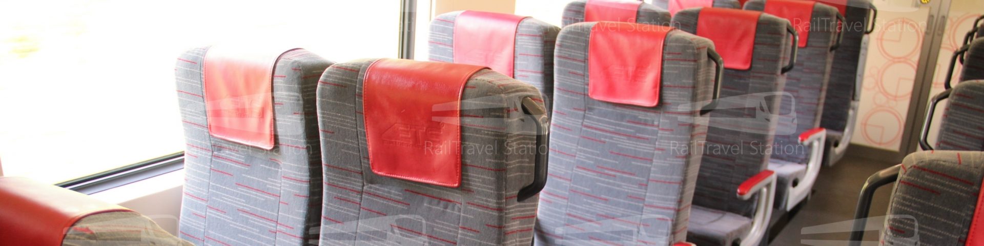
Cover image from Land Transport Authority (LTA)


There will also be a new viaduct and crossover tracks constructed to connect to the existing NSL tracks while modification works are being carried out.


OUTDATED: Site of NS 3A Brickland MRT Station
The below description and opinions were made before the official confirmation of the location of NS 3A Brickland MRT Station by the Land Transport Authority (LTA). These ideas are outdated with the official announcement by the Land Transport Authority (LTA).

There is not much physical evidence of the future site of Brickland MRT Station at this moment.
However, based on Singapore MRT stations generally being on a straight section of track, and not on an incline gradient, the track parallel to Brickland Road between Bukit Batok Road and Choa Chu Kang Grove will be the most possible site of Brickland MRT Station.
However, I note that there is a very slight gradient on this section, and there is not much level gradient on this straight section of track, with the viaducts going up and down, peaking at the junction of Brickland Road and Bukit Batok Road between Choa Chu Kang MRT Station and Bukit Gombak MRT Station on both bounds. An MRT station platform is usually approximately 142 meter long.
If Brickland MRT Station is built, it may be the first MRT station to not be level but on a very slight incline.

This section of Brickland Road is already busy with vehicles from Choa Chu Kang and Keat Hong accessing the PIE via Bukit Batok Road.

The land under the MRT viaducts most likely to be Brickland MRT Station is currently a park connector.


This stretch of the Choa Chu Kang Park Connector has currently nothing around it. However, in future, this portion of land will house a health institution on the Choa Chu Kang Grove side, and a commercial and residential plot on the Tengah Brickland District side.
From URA Space, and by playing a bit too much of Cities Skylines, this further supports my guess of where the site most likely to be Brickland MRT Station is, as these zones pad the noise generated by the MRT station for surrounding residential areas. Perhaps URA Space will be updated in future to include a bigger plot of reserve land for Brickland MRT Station.
(The other site I had in mind was opposite Zu-Lin Temple Association with a straight track length of exactly 142 meters from the road junction to the track curve. However, I also note that this is quite a steep incline, and further away from the Tengah Brickland District, which may be counter-productive overall.) This idea turned out to be the one chosen by the Land Transport Authority (LTA).

The park connector here is on a downward gradient, but notice that the MRT viaducts remain more or less almost level (but it’s not). I know it’s not because I took the MRT on this section just to try it out.

The track parallel to Brickland Road between Bukit Batok Road and Choa Chu Kang Grove will be the most possible site of Brickland MRT Station is approximately 300 meters long, giving more than sufficient length to build a new MRT station here.

Notice that the land sinks around this plot of land, rather than the MRT viaducts climbing. If Brickland MRT Station is built on this site, I think that the land will be filled to a new higher ground level for easier barrier-free access to the station.
You can also see where the gradient peaks at the junction of Brickland Road and Bukit Batok Road in this picture in the background.


Another view of the most possible site of Brickland MRT Station, this time from the future Tengah Brickland District.
This site of the Tengah Brickland District, however, is still classified as a military area, though fenced up with green corrugated metal hoarding sheets. The military will move out of Tengah for this residential project, to occupy new plots of Lim Chu Kang in replacement.
I think you are 99.99% correct on the station location. Based on https://www.thealphalion.com/future-hawker-centre-and-hospital-at-choa-chu-kang/, the health on URA space will be a hospital as big as NTF. So likely the MRT will be linked directly to it.
agree with the author as well
99.99 percent? Turned out to be 0.01 percent was correct LOL.
plot twist